Music
Residency Concert w/ Stray Harbor + Friends
6 pm – 8 pm · Wolverine Farm Publick House, 316 Willow St.
Outdoors
Horsetooth Mountain Open Space sorted out before you drive up County Road 38E: the Larimer County entrance permit and what it costs, the main trailhead and Soderberg and their hours, the County's own distances for the Rock and the Falls, the Audra Culver loop, the Blue Sky connection, parking, dogs and e-bikes.
· Updated November 10, 2026 · Checked November 10, 2026
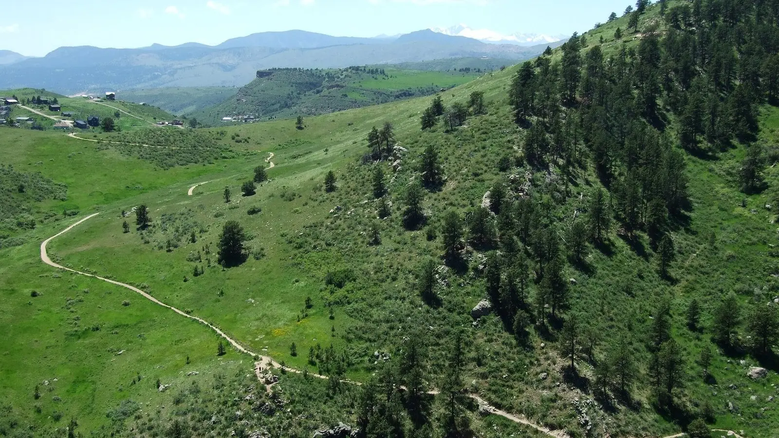
Horsetooth Mountain Open Space is Larimer County’s 2,711 acres west of Horsetooth Reservoir, between 5,430 and 7,255 feet, 4 miles from Fort Collins and 12 miles northwest of Loveland, with 29 miles of trail for hiking, biking and horses that connect to the Blue Sky Trail and to Lory State Park. It is open all year. The decisions are the same for everyone: which trailhead, which route, and how to pay. Here they are, with the County’s own distances, read on November 10, 2026.
An entrance permit is required of all visitors at all times. A daily permit is $10 a vehicle, bought with a debit or credit card at the self-serve pay station at the trailhead, or by phone through the Text2Park app. The County’s permits page says a daily permit is valid for 24 hours from purchase; its 2023 brochure says the day of purchase until noon the next day. The County is clear that buying a permit before you arrive does not guarantee a parking space.
An annual permit, valid for 12 months from the end of the month it is bought and transferable among vehicles registered to one household, is $100 for a Larimer County resident and $130 for a non-resident, $70 for anyone 65 or older or a veteran, $10 for a person with a disability, and $45 as the low-income Bison permit for county residents. It covers all the County’s permit areas: Horsetooth Mountain including the Soderberg Trailhead, Horsetooth Reservoir, Carter Lake, Flatiron and Pinewood reservoirs, the Blue Sky Trailhead, Devil’s Backbone, Hermit Park and Ramsay-Shockey. Annual permits are sold at the Natural Resources offices at 1800 South County Road 31 in Loveland (970-619-4570), the Horsetooth Area Information Center, seasonally at the gatehouses, and online at larimernaturalresources.t2hosted.com.
| Trailhead | Where | Hours | What is there |
|---|---|---|---|
| Horsetooth Mountain Trailhead | North side of County Road 38E, about 2½ miles west of the reservoir’s South Bay entrance and 1 mile west of the Inlet Bay entrance | Closed 11 pm–4 am daily | Pay station, drinking water, restrooms and picnic tables; the Horsetooth Rock, Horsetooth Falls and South Ridge trails start here |
| Soderberg Trailhead | West side of Shoreline Drive, 1.2 miles in from the Inlet Bay entrance | Sunrise to sunset | Restrooms and picnic tables; permit required; the Soderberg, Swan Johnson and Nomad trails |
From Fort Collins, the County’s directions are west on Harmony Road, which becomes County Road 38E at Taft Hill Road, then about 4 more miles to the south end of the reservoir and on past the South Bay entrance. The Blue Sky Trailhead is a tenth of a mile along 38E from the main trailhead.
Parking, the County says, “is a challenge on holidays and weekends in particular”. In summer it asks you to arrive before 9 am or after 3 pm, to expect lengthy delays when the lot reaches capacity, and to have an alternative planned, with COTREX (trails.colorado.gov) for nearby options. The County runs parking webcams at four lots, refreshed every five minutes, and lists a Horsetooth Mountain Trailhead webcam among them; on November 10, 2026 both pages said that camera “is not currently available”, citing limited cellular coverage on site. The other three, at the South Bay boat ramp, the Carter Lake marina and Devil’s Backbone, carried no such note.
The main trailhead is the start for the two walks on the County’s brochure, and the hiking-only Horsetooth Rock and Horsetooth Falls trails both begin there. The multi-use South Ridge Trail runs parallel for bikes and horses.
| Route | The County’s description | Distance |
|---|---|---|
| Horsetooth Falls, out and back | Horsetooth Falls Trail to the falls; the falls run in spring | 1.1 miles to the falls, 2.2 miles round trip |
| Horsetooth Falls Loop | Past the falls, the Horsetooth Falls Trail north and west to the Soderberg Trail, then back south on South Ridge | About 3.1 miles round trip |
| Horsetooth Rock, out and back | Horsetooth Rock Trail to the top of the Rock | 2.4 miles to the top, 4.8 miles round trip |
| Horsetooth Rock Loop | Up the Horsetooth Rock Trail; on the descent turn west onto the Audra Culver Trail, 0.62 mile down to the South Ridge junction, then south on South Ridge, a 2.6-mile return | 5.0 miles round trip |
Beyond those, the County’s 2018 map labels the longer trails by segment: the Wathen Trail at 1.3 miles, the Stout Trail at 3.0, the Towers Trail at 3.2, Mill Creek at 3.0 at the north end where the map points to Lory State Park, and on the Soderberg side the Nomad Trail at 1.4 and the Swan Johnson Trail at 0.6. The 2023 brochure marks three designated backcountry campsites, HM1 to HM3; camping is allowed only at those, never in the parking lot, by first-come registration at larimercamping.com, 800-397-7795 or a County visitor center.
To the south, the map notes that the Blue Sky Trail “continues south to Devil’s Backbone Trailhead” from the Blue Sky Trailhead on 38E. The County’s Devil’s Backbone page describes 17.25 miles of trail there connecting to Rimrock and to Horsetooth Mountain Open Space, with a trailhead gate that typically opens by 6 am and closes at sunset and the same $10 permit.
Dogs and other pets must be on a leash at all times throughout the open space, and the County says loose dogs may be impounded. E-bikes are prohibited on the natural-surface trails. Fires, firewood collection, fireworks, firearms and drones are prohibited, as is hunting or trapping. The County’s page carries a heat warning when the forecast heat index reaches 90 degrees, and Devil’s Backbone’s page adds not to bring pets onto the trails in hot weather. Drinking water is available at the main trailhead; the County asks you to carry enough for the whole hike or ride, since there is none on the trails.
One figure differs between the County’s documents: the web page gives 2,711 acres and 29 miles of trail, the 2023 brochure 2,886 acres and 29.5 miles. The brochure also notes the Wathen, Herrington, Soderberg and Culver families who homesteaded here in the early 1900s, whose names are on the trails. For trail closures and conditions, the County points to COTREX rather than its own site.
Music
6 pm – 8 pm · Wolverine Farm Publick House, 316 Willow St.
The listing, with the hours, permit and map link in one place.
The County reservoir below the open space; its South Bay and Inlet Bay entrances are the landmarks for finding both trailheads.
The state park to the north, which the open space's trails connect to.