Things to do
Trailheads in Estes Park
12 trailheads in and around Estes Park, CO: where to park, what starts there and who manages the land.
Trailheads in Estes Park
TrailheadBear Lake Road
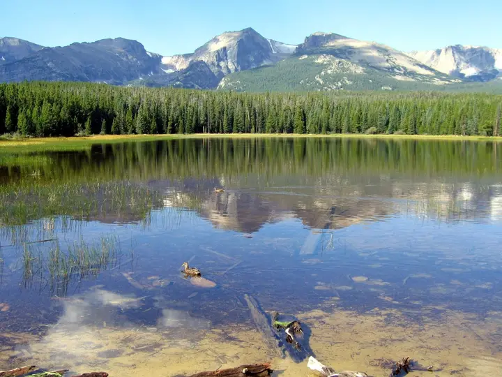
Bierstadt Lake Trailhead
Small lot, shuttle stop and vault toilet on Bear Lake Road…
TrailheadMoraine Park
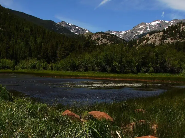
Cub Lake Trailhead
Trailhead on the road along Moraine Park for the 2.4-mile walk to Cub Lake…
-
Trailhead
The trailhead where Bear Lake Road ends, at 9,475 feet: the short loop round Bear Lake…The trailhead where Bear Lake Road ends, at 9,475 feet: the short loop round Bear Lake, and the trails to Nymph, Dream and Emerald lakes, Odessa Lake and Flattop Mountain. The lot is often full by 9 am.
End of Bear Lake Road, 9.2 miles from Trail Ridge Road, Rocky Mountain National Park
-
Trailhead
Small lot, shuttle stop and vault toilet on Bear Lake Road…Small lot, shuttle stop and vault toilet on Bear Lake Road, at the foot of the steep 1.5-mile climb to Bierstadt Lake through aspens.
Bear Lake Road, 6.8 miles from Trail Ridge Road, Rocky Mountain National Park
-
Trailhead
Trailhead on the road along Moraine Park for the 2.4-mile walk to Cub Lake…Trailhead on the road along Moraine Park for the 2.4-mile walk to Cub Lake, starting at 8,080 feet with about 540 feet of gain.
Fern Lake Road along the edge of Moraine Park, off Bear Lake Road, Rocky Mountain National Park
-
Trailhead
Trailhead at the end of the Moraine Park road for The Pool (1.7 miles), Fern Falls (2.5)…Trailhead at the end of the Moraine Park road for The Pool (1.7 miles), Fern Falls (2.5), Fern Lake (3.8) and Odessa Lake (4.9), starting at 8,155 feet.
End of Fern Lake Road along Moraine Park, off Bear Lake Road, Rocky Mountain National Park
-
Trailhead
Trailhead on Bear Lake Road for Alberta Falls (0.8 mile), Mills Lake, The Loch, Black Lake and Sky Pond…Trailhead on Bear Lake Road for Alberta Falls (0.8 mile), Mills Lake, The Loch, Black Lake and Sky Pond. The lot fills early every day; in shuttle season the park suggests Park & Ride and the Bear Lake shuttle.
Bear Lake Road, about 8 miles from US Hwy 36, Rocky Mountain National Park
-
Trailhead
Trailhead in Horseshoe Park for Lake Ypsilon (4.5 miles one way) and Lawn Lake (6.2 miles)…Trailhead in Horseshoe Park for Lake Ypsilon (4.5 miles one way) and Lawn Lake (6.2 miles), starting at 8,540 feet. Stock loading area nearby.
Road to Endovalley, off US Hwy 34 at Horseshoe Park, Rocky Mountain National Park
-
Trailhead
Lot beside Highway 7 with vault toilets and a viewing dock, at the start of the Lily Lake Trail: benches…Lot beside Highway 7 with vault toilets and a viewing dock, at the start of the Lily Lake Trail: benches, two bridges and a wetland boardwalk, with views of Longs Peak and Twin Sisters.
Colorado Highway 7, about 6.4 miles from Beaver Meadows Visitor Center, Rocky Mountain National Park
-
Trailhead
Forest Service trailhead on US 36 between Estes Park and Lyons for the Lion Gulch Trail to Homestead Meadows…Forest Service trailhead on US 36 between Estes Park and Lyons for the Lion Gulch Trail to Homestead Meadows, where eight homesteads were settled between 1889 and 1923. No fee; dogs on a hand-held leash.
US Hwy 36 at mile marker 8, 7 miles east of Estes Park (south side of the highway)
-
Trailhead
Trailhead by the Longs Peak Ranger Station at 9,300 feet, for Chasm Lake (4.2 miles) and the 8-mile…Trailhead by the Longs Peak Ranger Station at 9,300 feet, for Chasm Lake (4.2 miles) and the 8-mile, 4,885-foot climb to the summit of Longs Peak.
End of Longs Peak Road, off Colorado Highway 7, Rocky Mountain National Park
-
Trailhead
Rocky Mountain National Park trailhead 1.8 miles by road from Bond Park downtown…Rocky Mountain National Park trailhead 1.8 miles by road from Bond Park downtown: Gem Lake is 1.6 miles and about 1,000 feet up from here. A park entrance pass is required.
Off MacGregor Avenue/Devils Gulch Road, 1.5 miles from Bond Park, Estes Park
-
Trailhead
Paved lot, picnic tables and restrooms beside Sprague Lake…Paved lot, picnic tables and restrooms beside Sprague Lake, with a short loop round the lake that the park describes as wheelchair and stroller accessible. Open all year.
Sprague Lake Parking Area, Bear Lake Road, Rocky Mountain National Park
-
Trailhead
Trailhead and ranger station at the end of Wild Basin Road, off Highway 7, for Copeland Falls (0.3 mile)…Trailhead and ranger station at the end of Wild Basin Road, off Highway 7, for Copeland Falls (0.3 mile), Calypso Cascades (1.8), Ouzel Falls (2.7) and the lakes beyond.
End of Wild Basin Road, off Colorado Highway 7, Rocky Mountain National Park