Trailhead
Longs Peak Trailhead
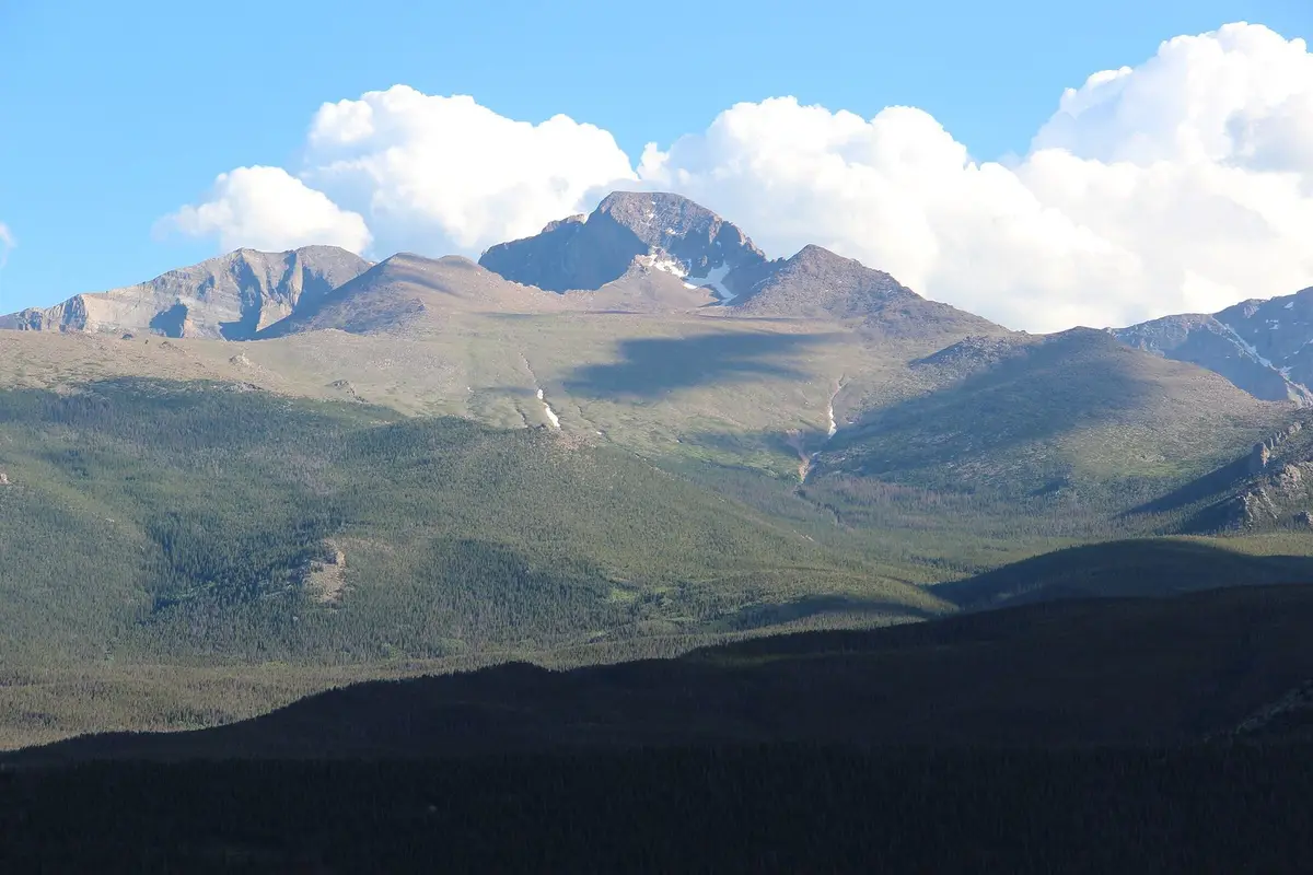
The trailhead stands beside the Longs Peak Ranger Station at the end of Longs Peak Road, about a mile off Highway 7. From Beaver Meadows Visitor Center, go about a mile east on US 36, take Mary’s Lake Road 2.4 miles to Highway 7, turn right and drive 5.6 miles to Longs Peak Road. The park’s trail list gives Eugenia Mine at 1.4 miles, Chasm Lake at 4.2 miles (2,360 feet of gain) and Longs Peak at 8 miles with 4,885 feet of gain, one way; the park publishes a Keyhole Route bulletin for the summit.
Directions are from the park’s Goblins Forest campsite page; distances from its list of hiking trails; permit and pass rules from the timed-entry and fees pages.
At a glance rmnp · hiking · summit · chasm lake
Checked October 27, 2026 against nps.gov. Hours and phone numbers change fastest, so the business’s own page is the record. Report a correction · Know something opening or closing? Tell us
In the guides
Read about Longs Peak Trailhead
- Estes Park history: the Circle, the earl's hunting ground, the Stanley, a national park and three floods
Arapaho and Ute summers in the Circle, Joel Estes in 1859, Isabella Bird and the Earl of Dunraven, F.O. Stanley's hotel, Enos Mills and the national park of 1915, a water tunnel under the Divide, and the floods of 1976, 1982 and 2013. The short history of Estes Park, with sources.
More in Estes Park